By Nick Del Giudice, American Forests
As was covered in the first part of this series, LiDAR is a laser imaging technology that can provide insight on and mapping of landscapes, whether in the urban jungle or the actual rainforest. LiDAR is a tool that can be adapted to many diverse uses, and here is a list of the most surprising ones!
Agriculture
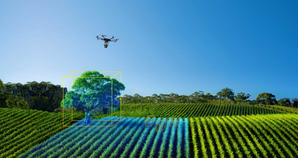
By using carefully constructed LiDAR maps of agricultural land, farmers can better understand where the sun will shine strongest, and which of their crops could use more water or fertilizer. This information can lead to higher crop yields and more stability for the technologically apt farmer.
Pollution Modelling
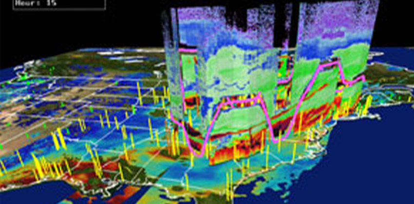
LiDAR can detect and map gases such as carbon dioxide and methane. This data is aggregated into pollution density maps. By knowing where the pollutants are congregating, it is possible to better mitigate or avoid the effects of the pollutants.
Archaeology
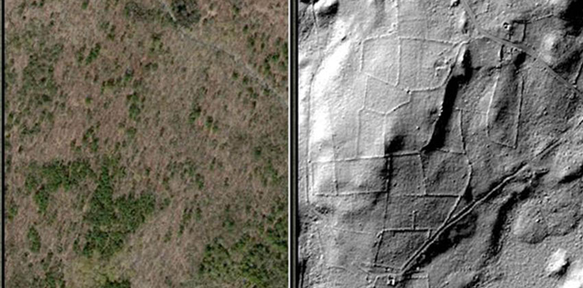
Archaeologists are using LiDAR images to detect subtle changes in topography that may indicate a dig site. This can save a great deal of time instead of searching on the ground for the same evidence. Additionally, some sites may not be visible at all from the ground, and the aerial images can lead to sites that would otherwise never be found.
Video Games
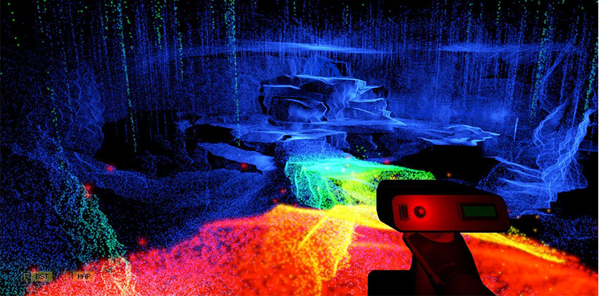
LiDAR is being used to scan and model real-life locations that can then be turned into animations and interactive environments in the game. The LiDAR scanner could be used to get exact measurements of a landmark so it is to scale in the game setting.
Self-driving Cars
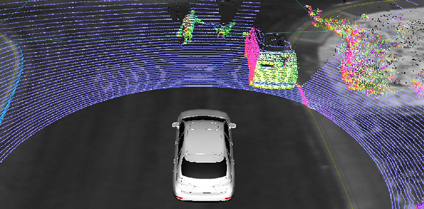
Self-driving cars have made many developments in recent history. One of the key technologies to their growth is — you guessed it — LiDAR. Light emitter and sensors can be placed around the car to show a computer where objects are located around the vehicle, enabling the vehicle to maintain position in relation to traffic or, more dramatically, stop a vehicle about to crash.
Urban Planning
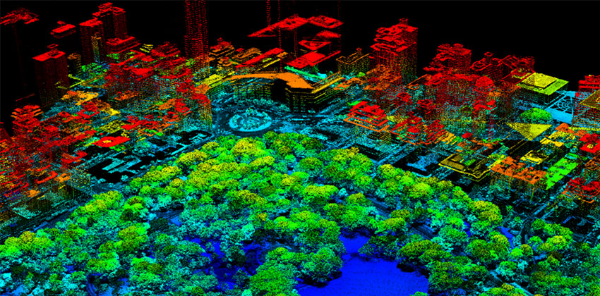
Just like wildlands, urban environments are a veritable jungle with all manner of protrusions, buildings, people and a variety of other structures, such as trees! Having detailed images of this urban ecosystem altogether can allow urban planners to more fully understand what they are dealing with and address the issues facing our cities, particularly regarding urban greenspace and forests.